
By Russ Connelly

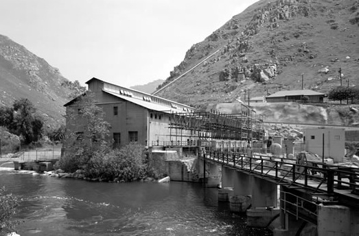
Construction began on a road through the Kern Canyon in the mid 1890’s. The road was graded dirt and extended from the mouth of the canyon (15 miles east of Bakersfield) to the site of Southern California Edison’s powerhouse about two miles inside the canyon. This road was built by Edison Electric for constructing their Kern River #1 powerhouse between 1902 and 1907. When completed, KR1 was the largest hydroelectric facility in the world and boasted the longest, most powerful transmission line (75,000 volts) which stretched 118 miles from the plant, over the Tehachapi Mountains to Los Angeles.
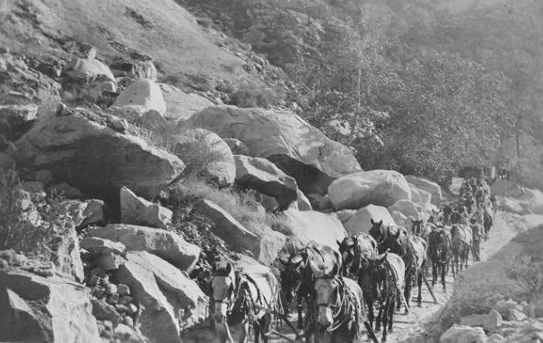


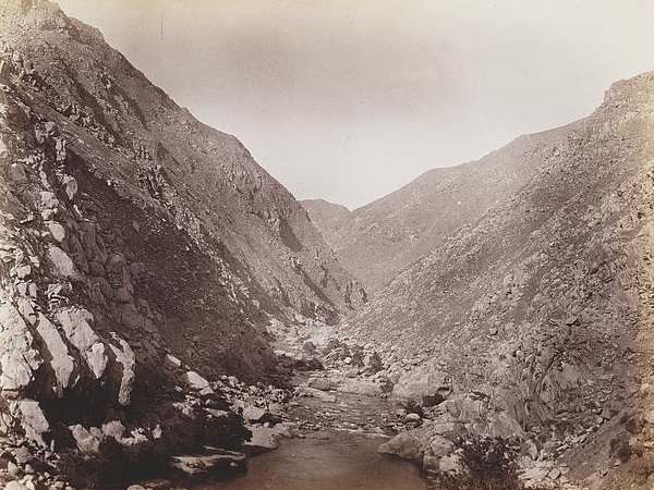
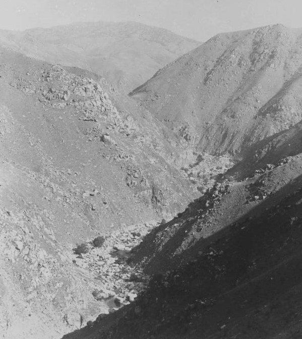
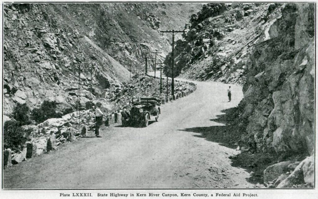
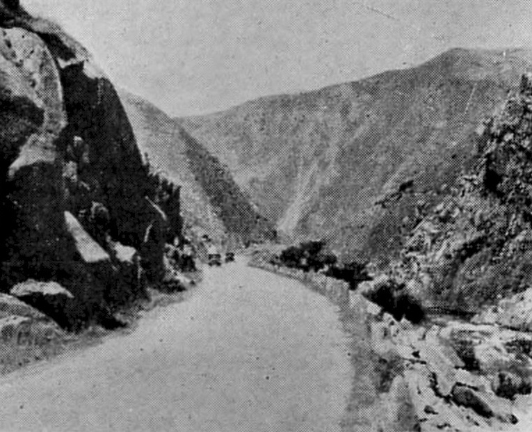
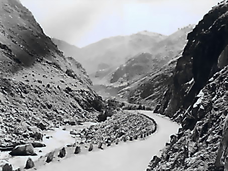
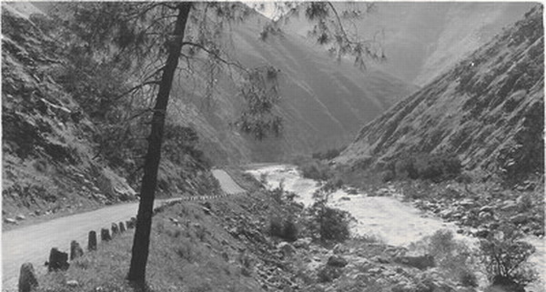
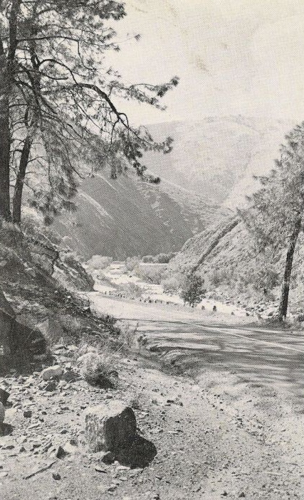
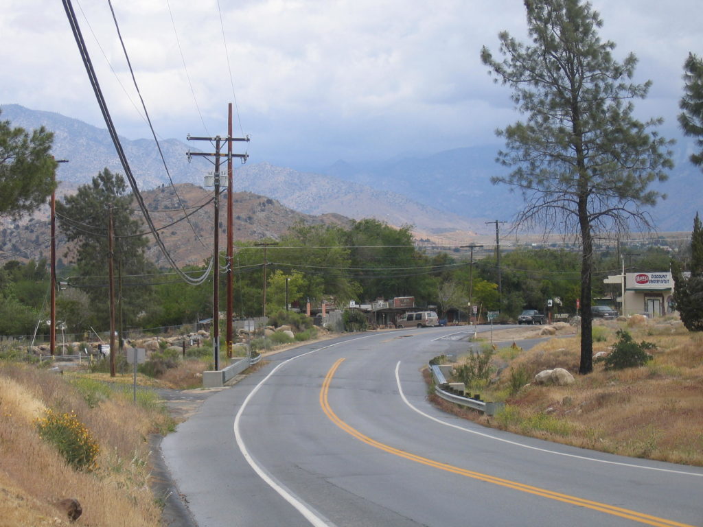
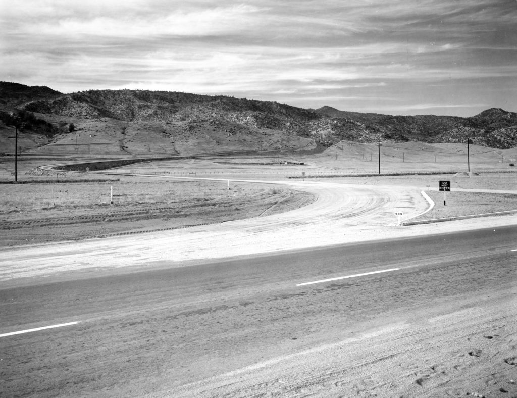
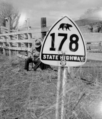
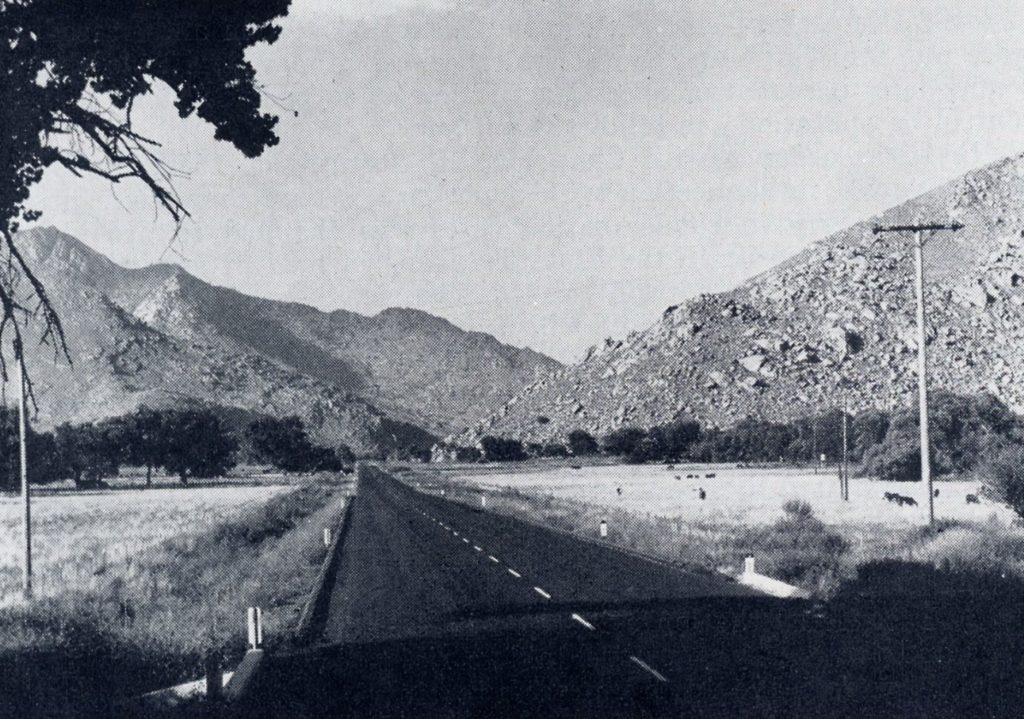
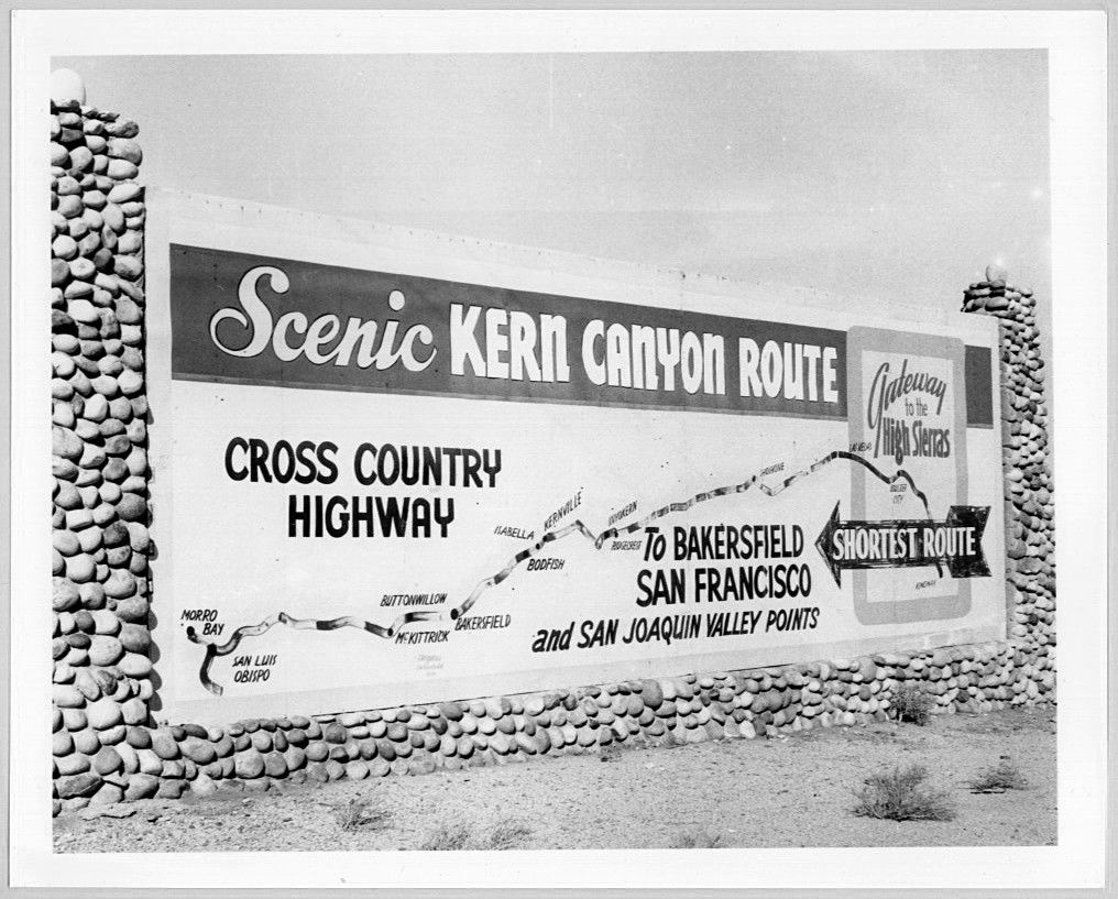
In late 1919, Highway 178 (then known as Legislative Route 57) was added to the State highway system and was called “The Walker Pass Route” for the pass the road covers on it’s way to the desert junction of Freeman. The state highway bond issue of 1919 allowed for the grading of 8.4 miles of road between the KR1 powerhouse and Democrat which opened on December 20, 1925. The grading was done by convict labor from Folsom Prison Camp 9 and completed in 1924 at a then cost of over $530,000. The severe expense was due to the steep sides of the canyon wall and the rock that had to be blasted out of the way to make the roadbed. “The Canyon” as it is known to locals, is notorious for its many and usually dangerous curves. It is an intimidating road with a steep rocky canyon wall on one side and the mighty Kern River on the other.

Many have died along the highway as a result of it being narrow and curvy. The first fatal accident was reported in November 1926. A 1962 article in the Los Angeles Times stated that the highway had the highest fatality rate in the state of California…nearly 37% higher than the State average. One study reported 551 accidents happened along this stretch of road between 1981 and 1988 alone.
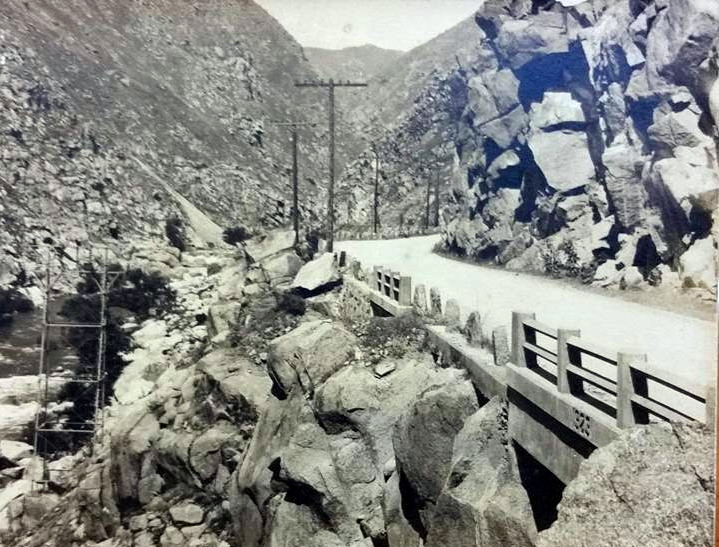
Several improvements were made to eliminate or improve curves and improve sight lines including projects in 1951 and many smaller projects through the 1970’s, 1980’s & 1991. Caltrans blasted out almost 15 tons of rock at the mouth of the canyon to widen and realign one mile of the road in 2001.
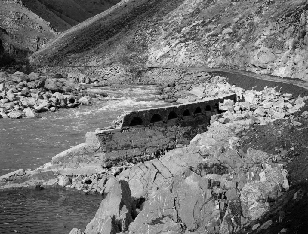
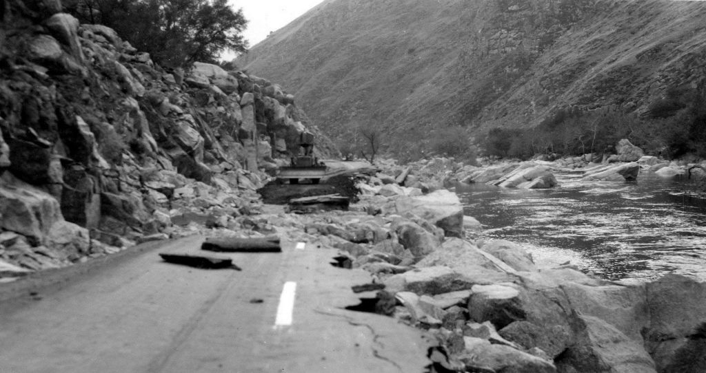
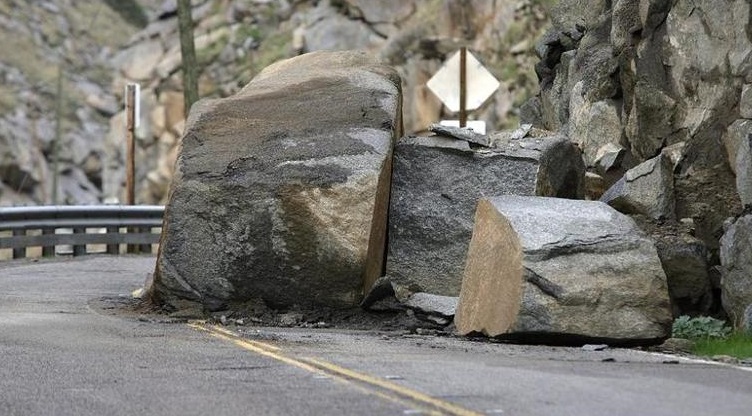
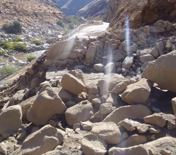
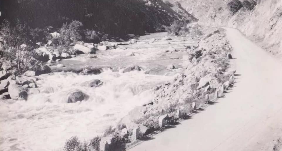
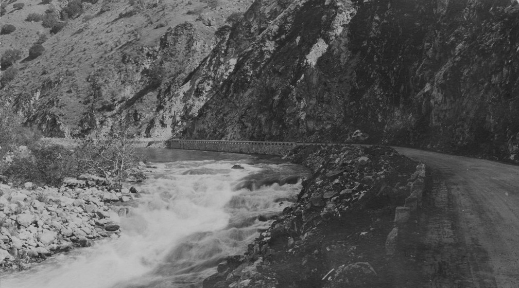
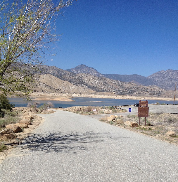
One thing that has not changed since the 1920’s is the frequency of rock slides that occur as a result of expansion and contraction of the canyon walls due to rains and temperature. The Tehachapi earthquake of 1952 also caused many major rock slides. Several floods, including those in 1942 and 1951 washed away several portions of the road. Floods were a threat until the Isabella Reservoir was completed in 1953. Until the late 1970’s, signs at each end of the canyon told travelers that this dangerous road was not patrolled at night and travel was at your own risk.


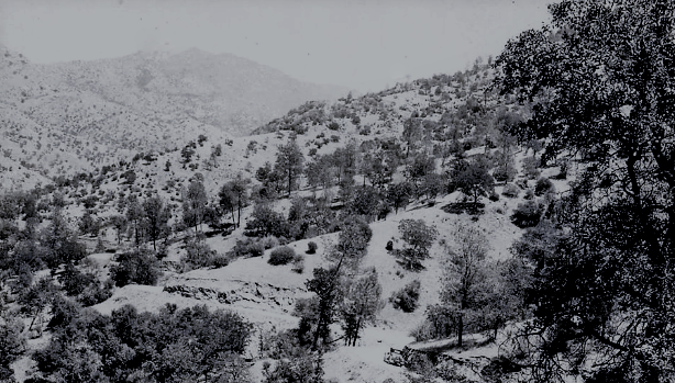
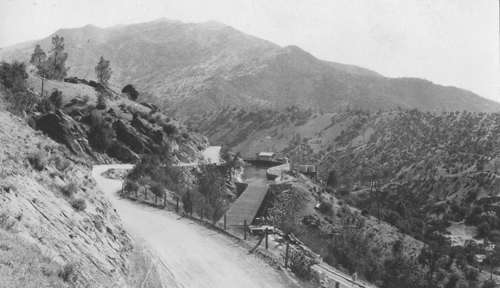
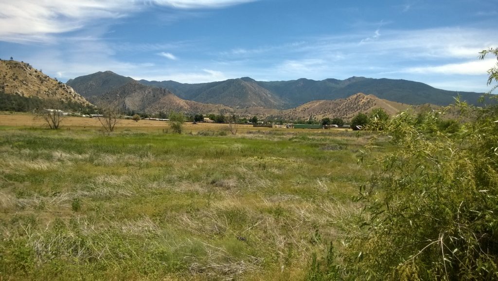
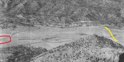
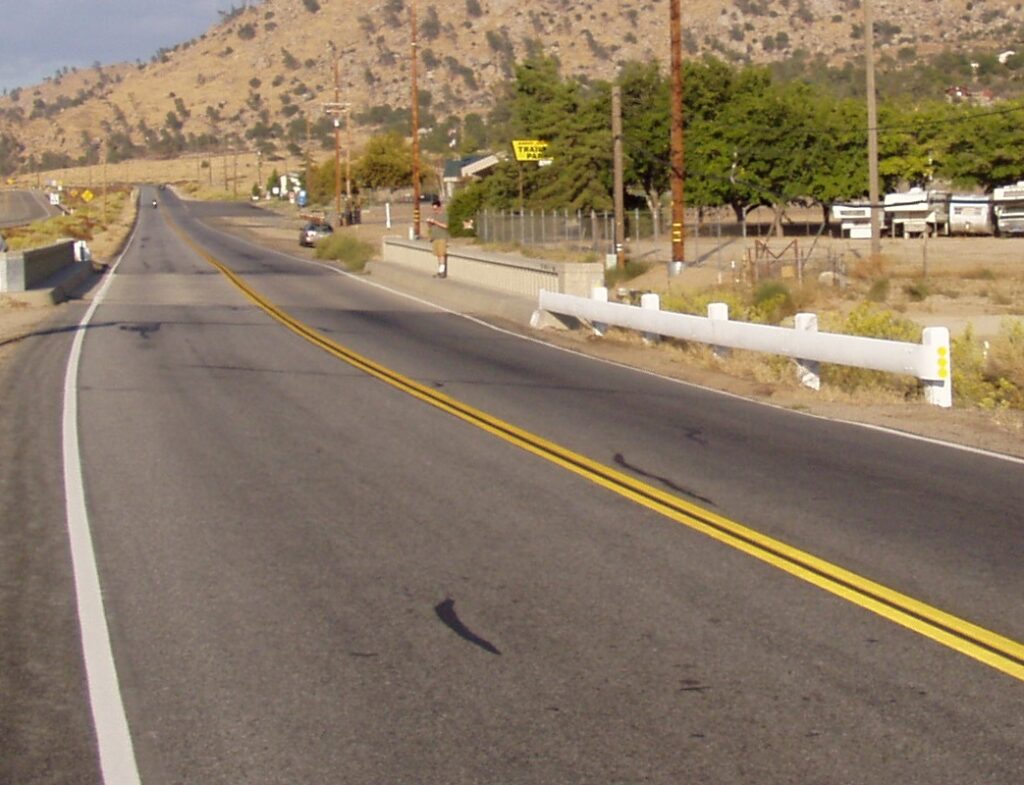
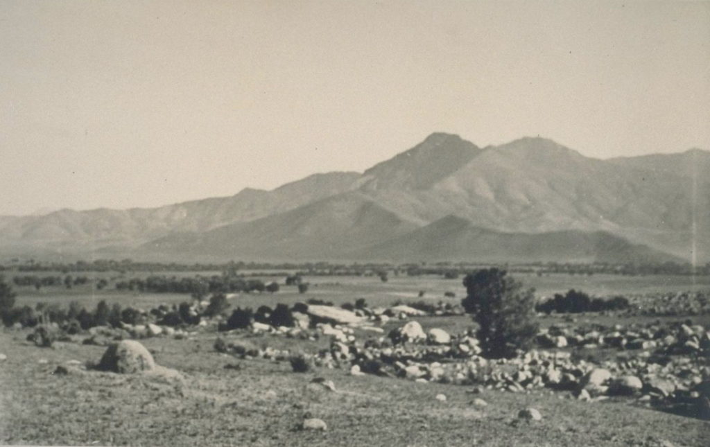
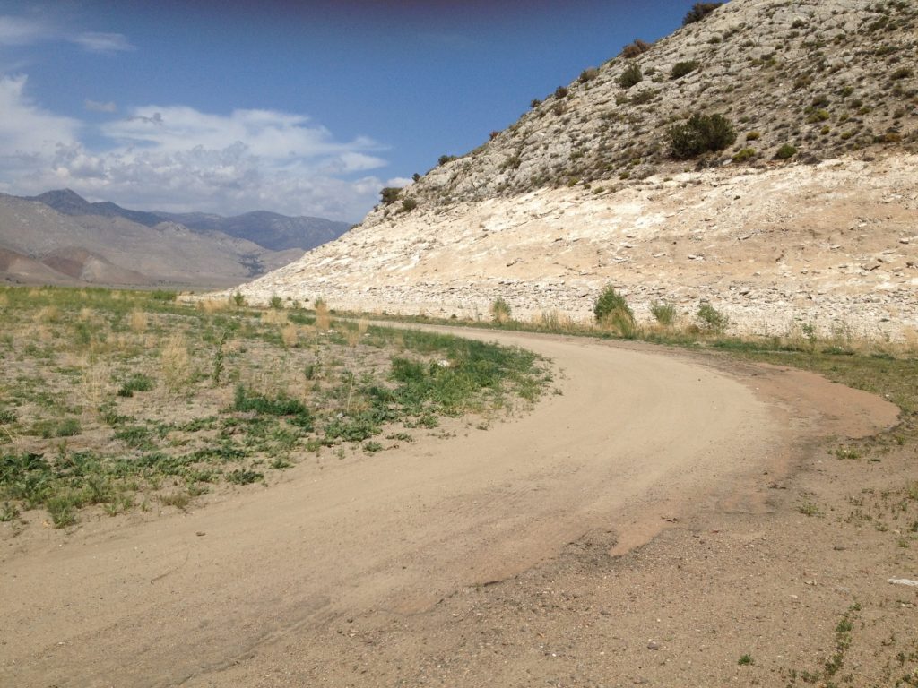
*This is near the same location of a 1984 Caltrans reconstruction-induced slide that closed the roadway for several months. The KR1 Powerhouse is in the background.
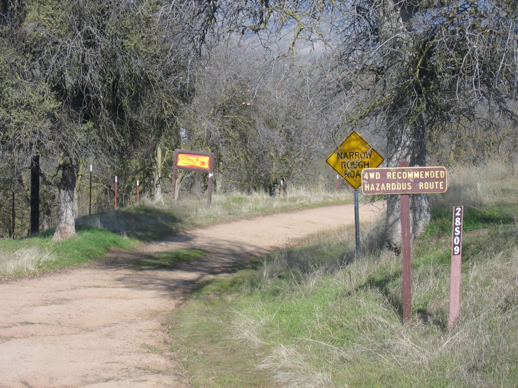
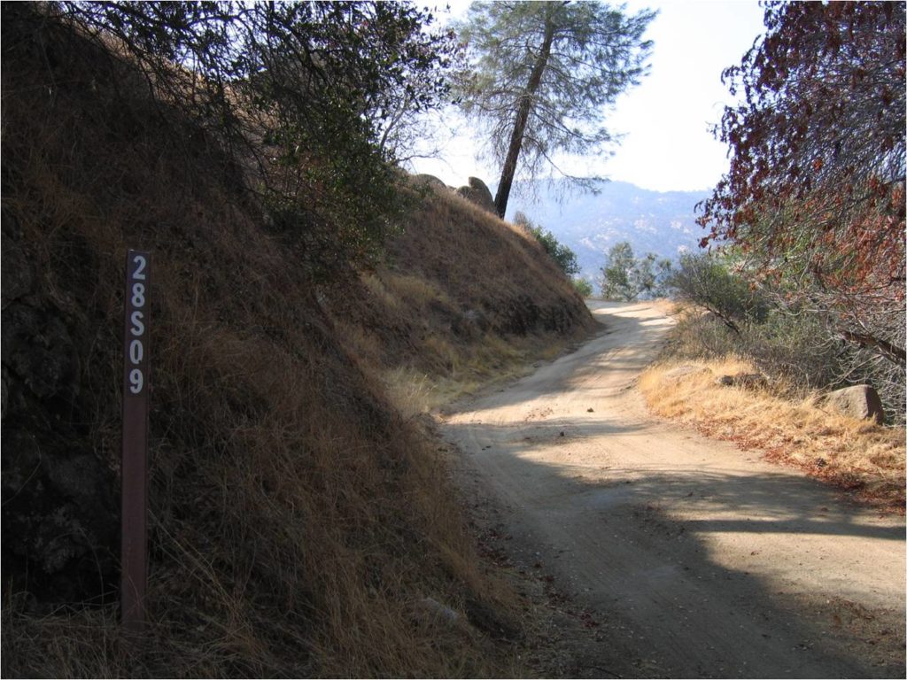
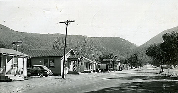
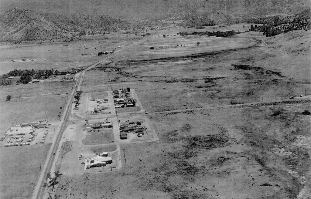
The first reference to any highway between Democrat and Bodfish is in a Bakersfield newspaper article mentioning County Road 148 which was authorized by the County of Kern in October 1894. This primitive road diverged off Breckenridge Road near Mt Adelaide and passed over the mountains, down to Democrat Springs then along the Kern Canyon to Bodfish. Although the county started the road, it wasn’t until the Edison Electric Company paid $250,000 in 1902 to finish grading the road over the mountains to Democrat so that they could build the intake dam for their KR1 powerhouse. The County of Kern then improved the 16 mile section of Road 148 from Democrat to Bodfish for $58,000…almost twice the expected cost and almost 3 years behind schedule. It was opened to traffic on September 25, 1905. They turned it over to the State as part of Highway 178 on November 21, 1926. A major realignment for a mile and a half between China Gardens and Old Canyon Road at a cost of $3.4 million (which began in April 1993) took out several sharp curves and added a passing lane. The county turned the rest of the old mountain road over to the U.S. Forest Service and is now known as road 28S09 and is accessible only by four wheel drive vehicles when the gates are open.
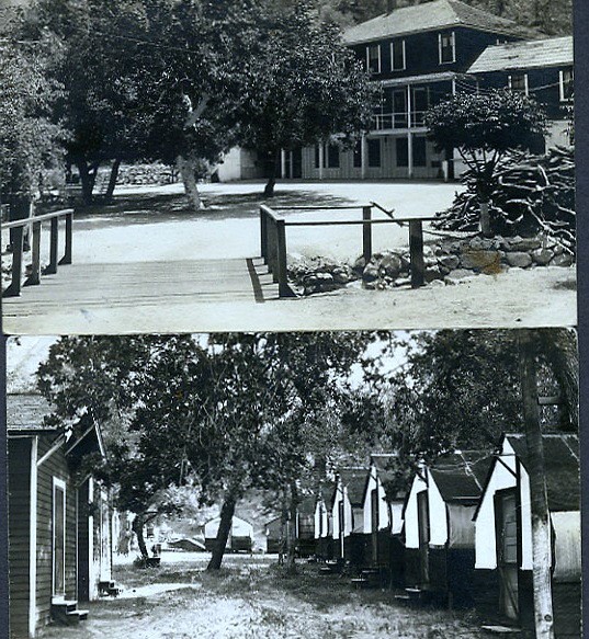
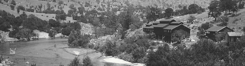
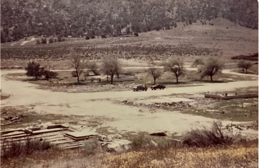
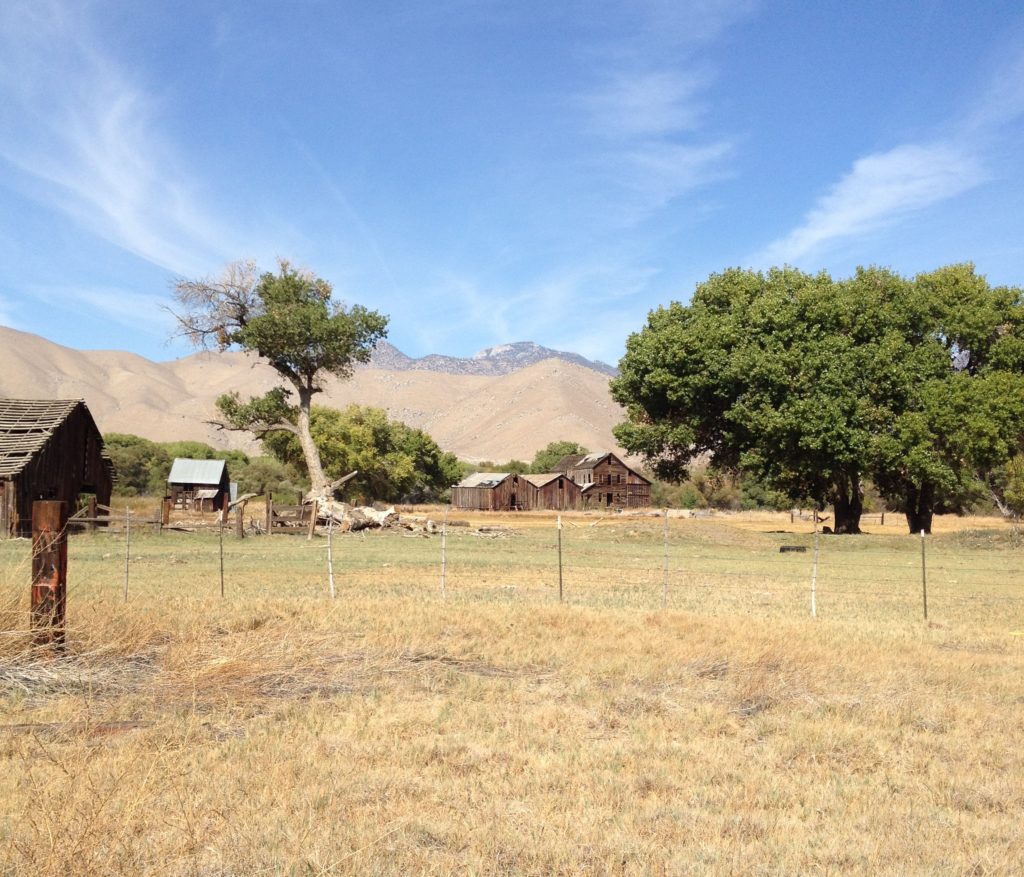
Between 1905 and 1959, Democrat Springs was a resort that featured hot mineral springs and a hotel. Local ranchers, travelers and Edison employees working on the KR1 Intake Dam nearby stopped at the hotel for meals and to soak in the waters. The Democrat property has since changed hands many times and with the ‘high-speed’ road between the Kern River Valley and Bakersfield, the resort was passed by. What is left now are fenced-off ruins that are a part of local history. Note: In case you stop to try and look at the ruins, the area residents and property caretaker are serious about those “No Trespassing” signs…
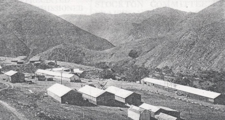
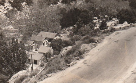
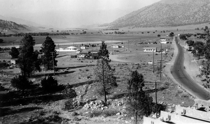
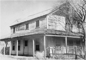
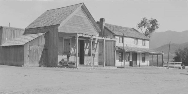
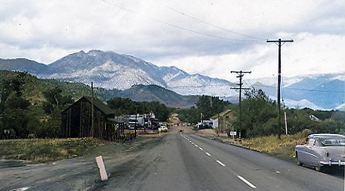
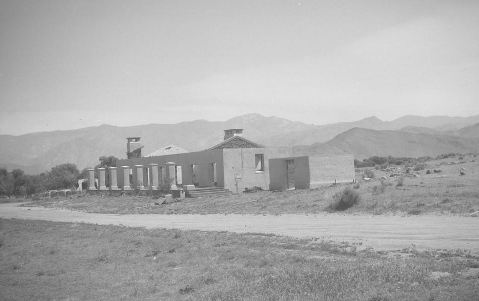
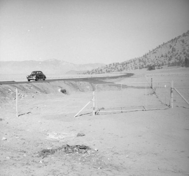
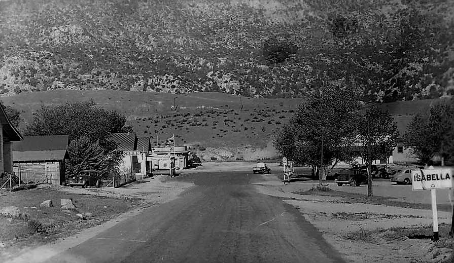
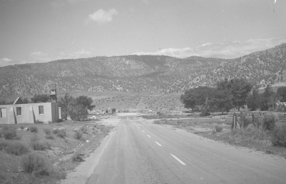
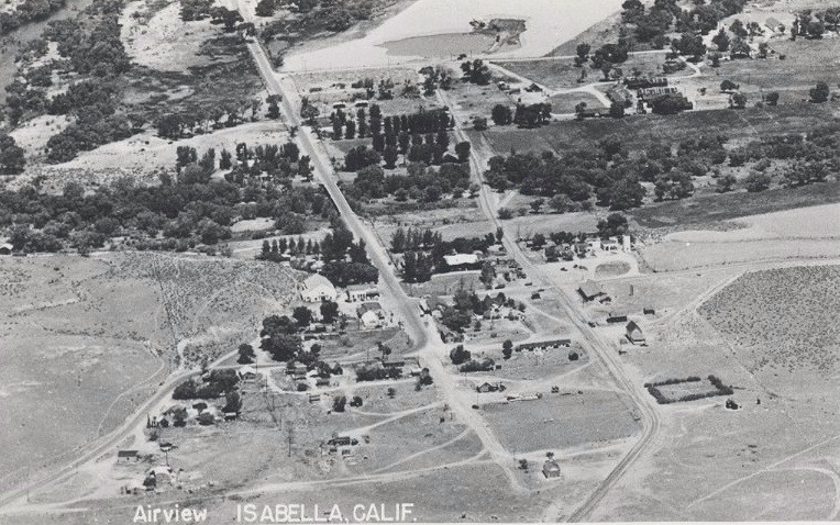
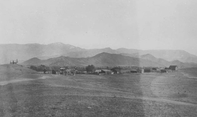
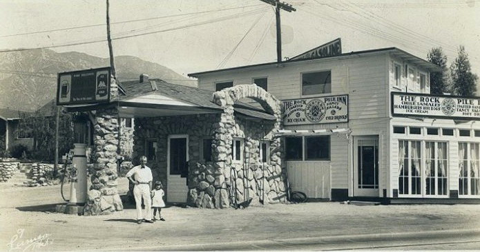
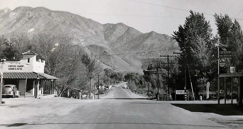
Highway 178 also passed through the small village of Miracle Springs. Miracle featured a hotel, general store, garage, campground, hot springs and even its own Post Office. While the beginnings of this community were around 1901, it’s glory days were after the hotel was built in 1927. The end of this community began in 1975 with fire destroying the Hot Springs Hotel and ended in 1986 with a fire destroying the remaining general store across the road. The Forest Service finished the job by closing the area by Forest Order, clearing the remains of all buildings and reopened the area to public use in 1992. The old highway location signs for the town of Miracle Springs were removed by the County in 1987.
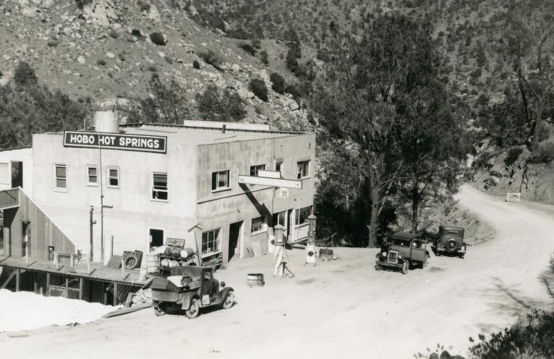
Hobo Hot Springs was the original name for Miracle Hot Springs which was renamed in 1947. The cabins were eventually torn down to make way for a RV resort on the property. This is the current site of the Kern River raft access day use area. Pipes running through the resort grounds carried mineral water from the springs to the cabins. The Forest Service later built an additional campground across the road and named it Hobo Campground.

Two Views of the town of Miracle Springs:


At Miracle, the State highway route connected with a road already established in 1897 by the Pacific Light & Power Company for building their Borel powerhouse.
This road was maintained by the County until turned over to the State in 1926 and went from the Hobo Camp at Miracle Springs to the junction with County Road 242 at Bodfish.
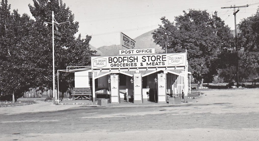
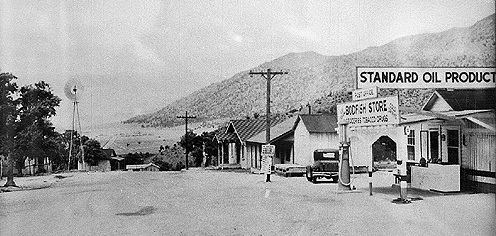
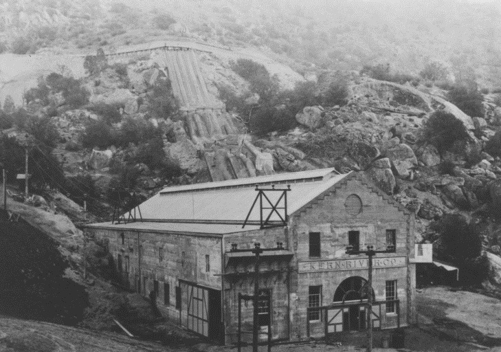
At the intersection with County Road 242 (Caliente-Bodfish Road), Highway 178 turned left, went down Bodfish Grade and continued past the landmark Borel Flume. This overhead waterway (Built in 1901, upgraded in 1910) was built to feed the hydroelectric powerhouse three miles away. It was replaced by an underground pipe in 1997 due to seismic concerns and its frequent leaks.


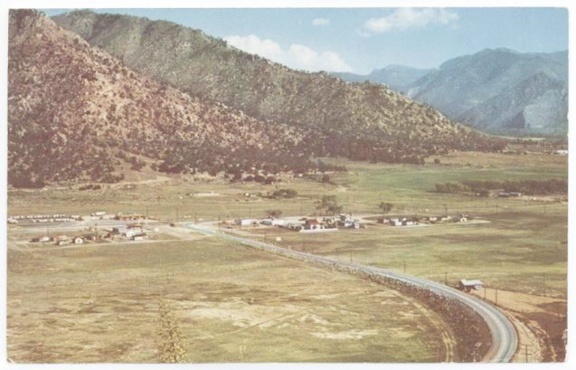
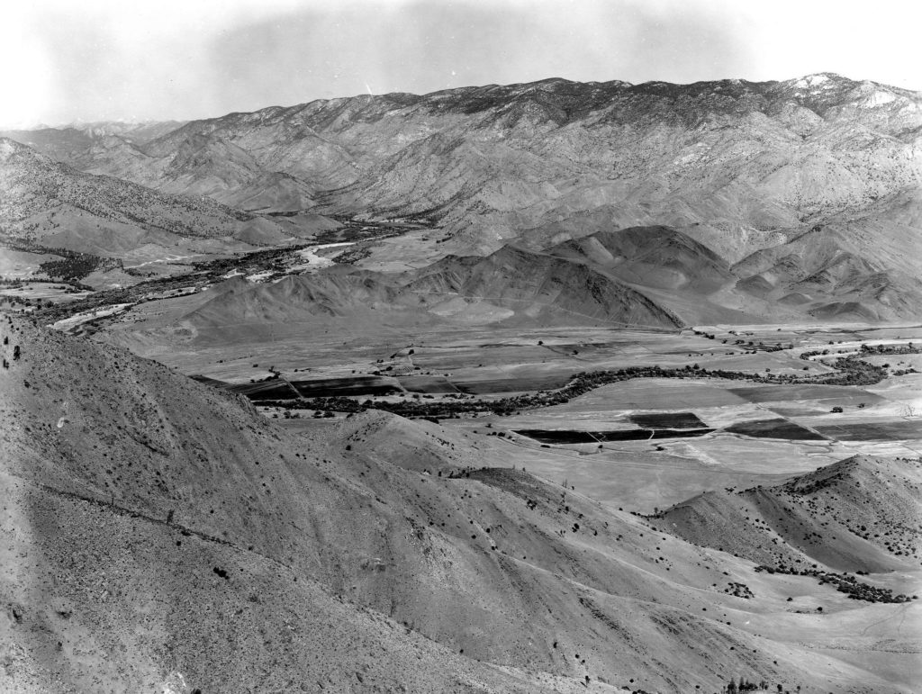
Continuing past Bodfish and into Hot Springs Valley, the road made an abrupt left turn (eliminated in the 1980’s by Kern County) and passed through the small communities of Garfield and Kernvale.
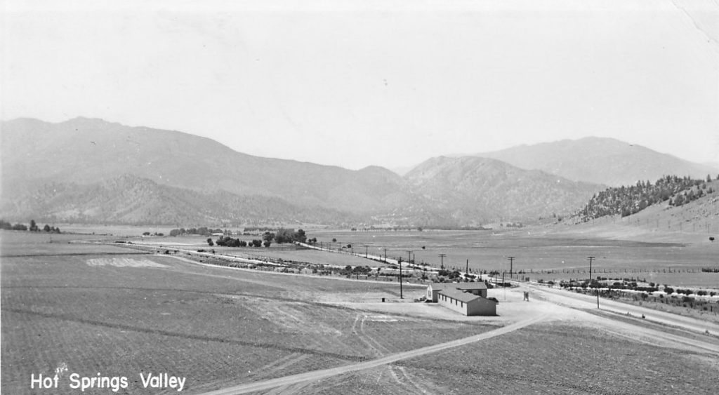
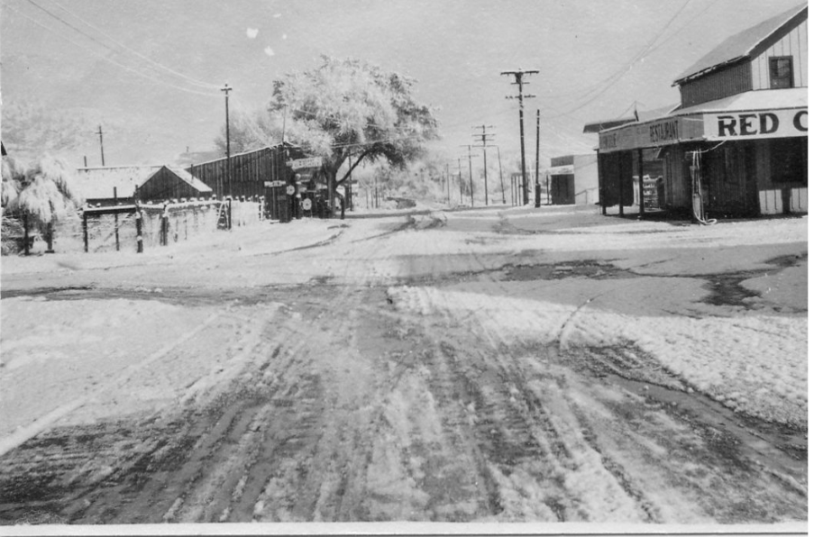
Another Settlement that time has forgotten is Scovern Hot Springs and the old Hot Springs House which burned in March 1971. Located in the center of Hot Springs Valley, it was originally a stopping point for horse stages traveling between the railroad at Caliente and old Kernville during the late 1800’s. Remnants of the local landmark, built in 1866, could be seen from Lake Isabella Boulevard until the mid 1990’s when what was left of the original wood framing of the hot springs building finally fell down. Tall weeds and trees growing along old highway 178 just past Kern Valley Plaza obscure the springs. The entire property was fenced by a new owner in 2001 who has plans on reopening a hot springs resort on the property sometime in the future.
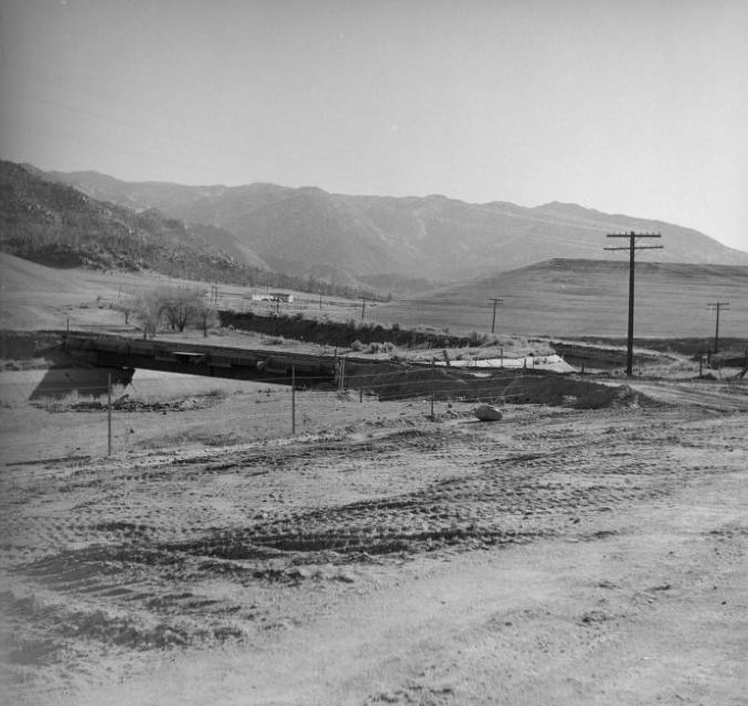
The California Highway Commission in 1957 requested improvements be done to Highway 178 due to the increases in both traffic and fatalities. In 1960, the Commission approved a 42.3 mile realignment from near the intersection with State Highway 184 east of Bakersfield to the Isabella Dam. The new alignment was expected to cost $30 million and was designed take the highway out of the canyon completely.
In 1966, the State instead authorized an upgrade of 178 to four-lane expressway from China Gardens near Democrat to Isabella Dam. This improved 13-mile section opened on October 13, 1974. While this new section cut four miles off the trip, it took over seven years to construct due to political, labor and funding difficulties as well as the large amount of grading, blasting and bridge building that was necessary for the new alignment. At the time, it was one of the most expensive stretches of expressway in California at over $8 million and has delayed the chance of completing a full highway realignment out of the canyon ever since.
The new “freeway” also bypassed the towns of Miracle Springs, Bodfish, Garfield, Kernvale and Lake Isabella. The stretch of original road from China Gardens to Bodfish is now known as ‘Old Kern Canyon Road’ (County Road 214). The original highway through Kernvale and Lake Isabella was upgraded to four lanes prior to state relinquishment to the County of Kern in 1974 and is now known as Lake Isabella Boulevard.


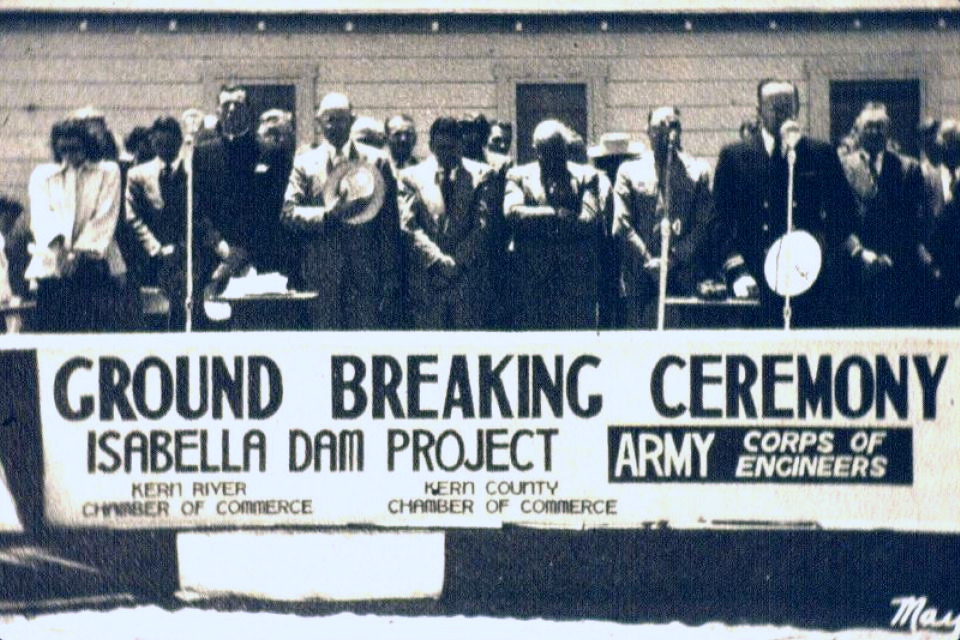
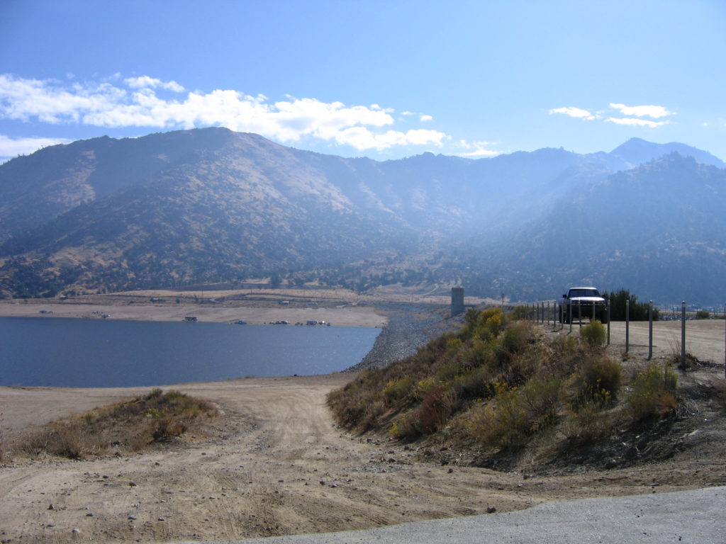
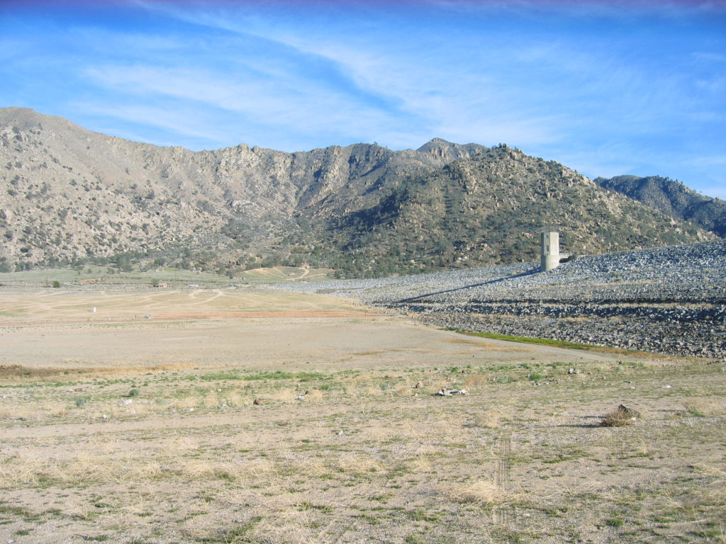
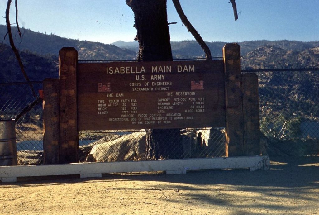
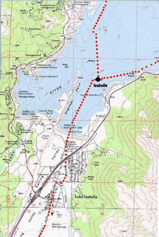
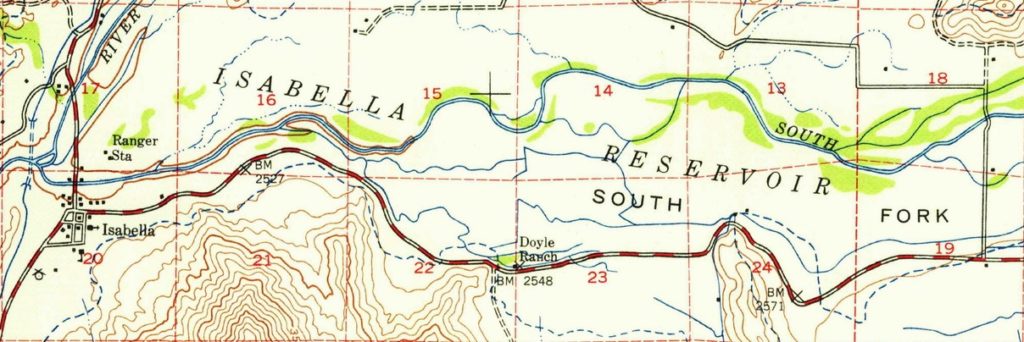
The construction of the Isabella Reservoir (including the $8.7 million Main and Auxiliary dams) authorized as a Federal flood control project by the US Army Corps of Engineers in 1944, began construction in 1948. The State Division of Highways had the task of realigning 178 (as well as highway 155) out of the future lake bed. The relocation of 18 miles of State roads, paid for by the Corps of Engineers, was budgeted in 1946 to cost $700,000 but ended up costing over $1.9 million when completed in 1951.
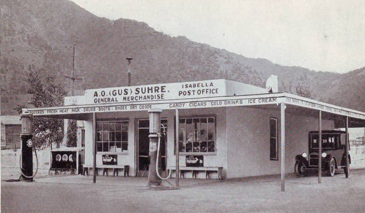
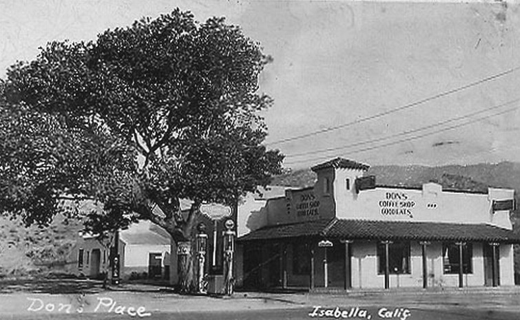
Unfortunately for the local residents, that also meant the wholesale relocation of the original town of Isabella to an area a couple of miles to the south then known as the Scovern Ranch in Hot Springs Valley. Those that did not sell and relocate voluntarily saw their property taken by eminent domain, their homes and businesses destroyed and the land cleared for the lake bed. The decision by the Government to pay for the relocation of the larger more established town of Kernville to the north versus the town of Isabella was a point of contention and painful memories that lasted for decades.
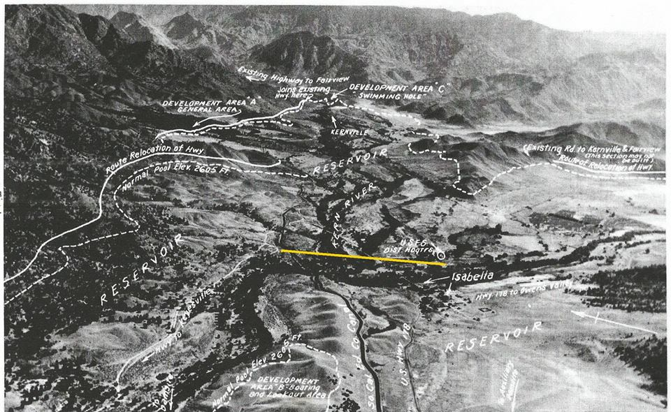

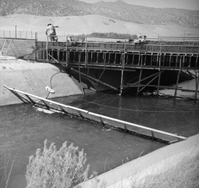
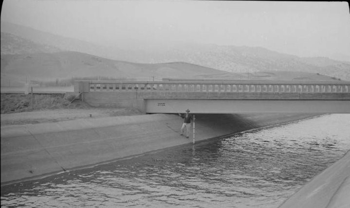
A new highway bridge over the Borel Canal was built near Auxiliary Dam and the roadway was realigned to the south and east nearer the mountains.
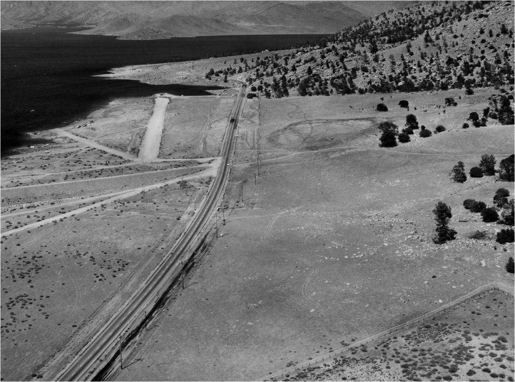
To get an idea of where the town of Isabella was originally located, take the “Old Isabella Road” turnoff about a mile past the Auxiliary Dam and drive down to the end of the boat ramp (Launch Area 17). The town was located directly in front and to the right of you, near the end of Engineers Point. Old Isabella Road was created to temporarily access the town from the newly realigned State Highway. After the lake was created, the road was turned over to the the Corps of Engineers and later the US Forest Service to use as a boat launch and recreation area.
Improvements to the 1948 road alignment helped straighten curves near Paradise Cove and Kissack Bay in the 1970’s and 1980’s and the stretch of road through the town of Mountain Mesa was widened to include a center turn lane in 1992. Rolling past the Kissack Ranch and over Kissack Grade, the realigned roadway reconnects to the original alignment just east of the town of South Lake.
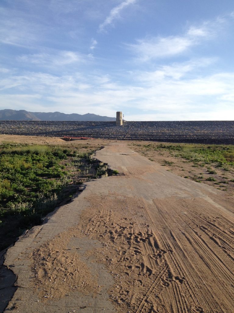
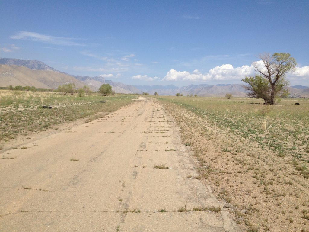
In 2014 and 2015, many of the original sections of the old highway that were abandoned formally in 1951 and 1953 became visible again as drought conditions lowered the lake to record low levels not seen since the lake was constructed.

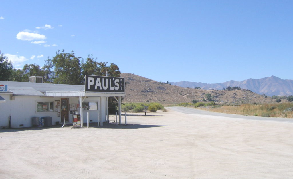
Highway 178 continues past the ranching communities of Weldon and Onyx curving among such establishments as the A. Brown Ranch, Paul’s Place and Earl’s Place. The highway was realigned and improved so that Paul’s Place is now accessible from County Road 1956 that connects back to 178 a mile later.


We also pass the site of what was the longest continuously operating store in California: The Onyx Store. It was formally closed after a sale of the surrounding property in early 2023.
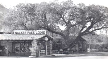
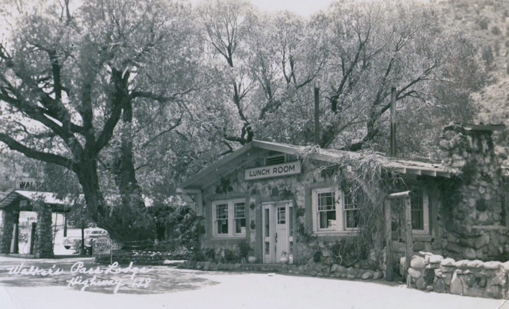
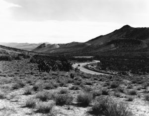
Continuing East, the highway then begins its climb out of the Kern River Valley. This section of road, which was built originally by the County of Kern as County Road 33, followed a wagon trail that was established in 1864. It was realigned up Walker Pass grade by the State in 1927 and passes the old stage stops and settlements of Canebrake and the Walker Pass Lodge, which burned in the late 1990’s.

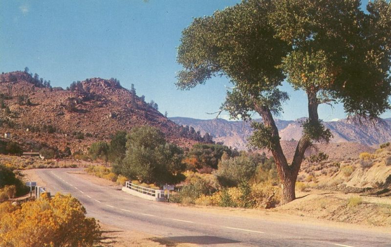
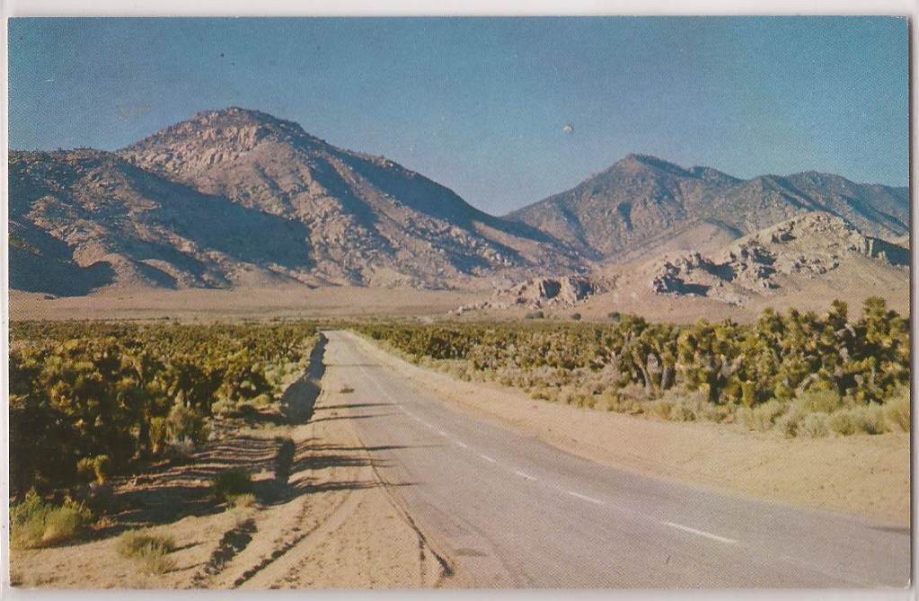

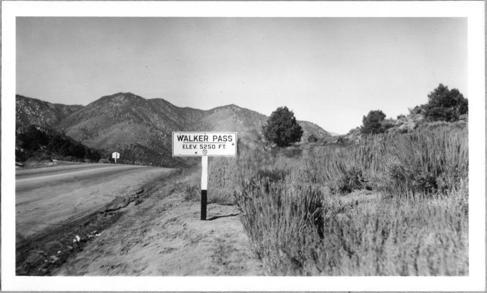
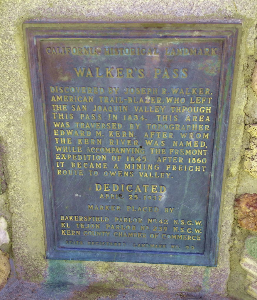
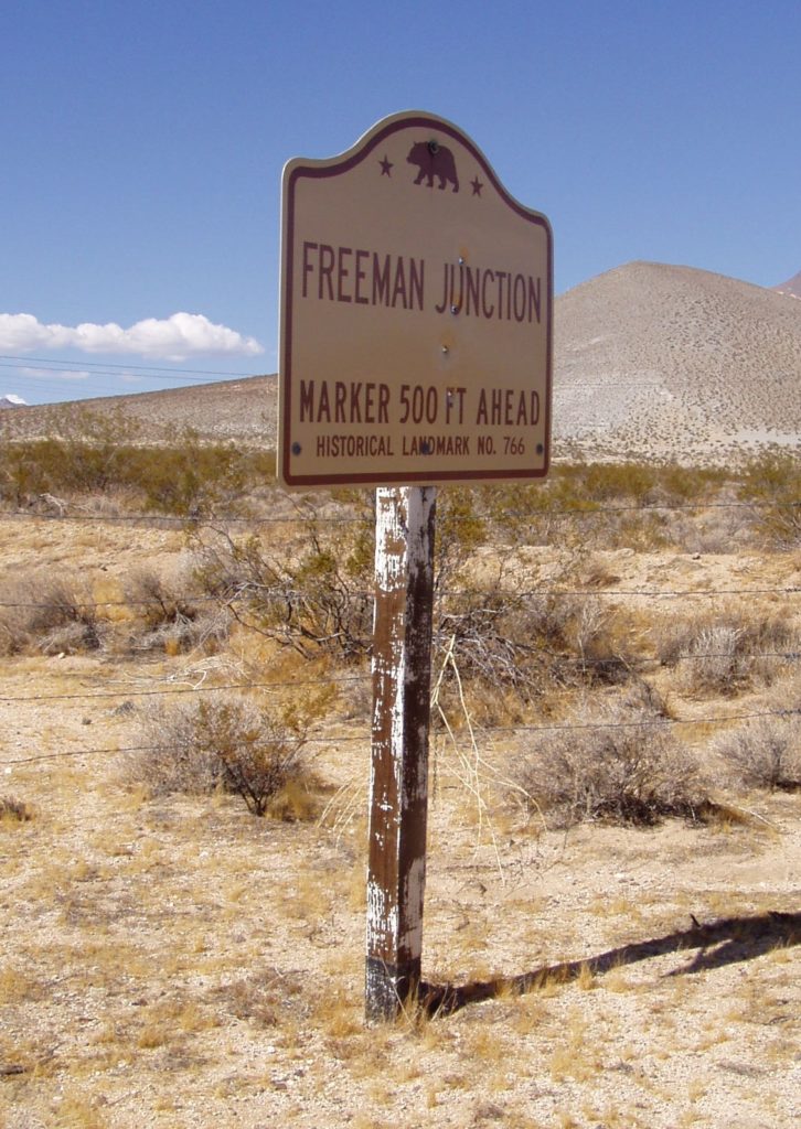
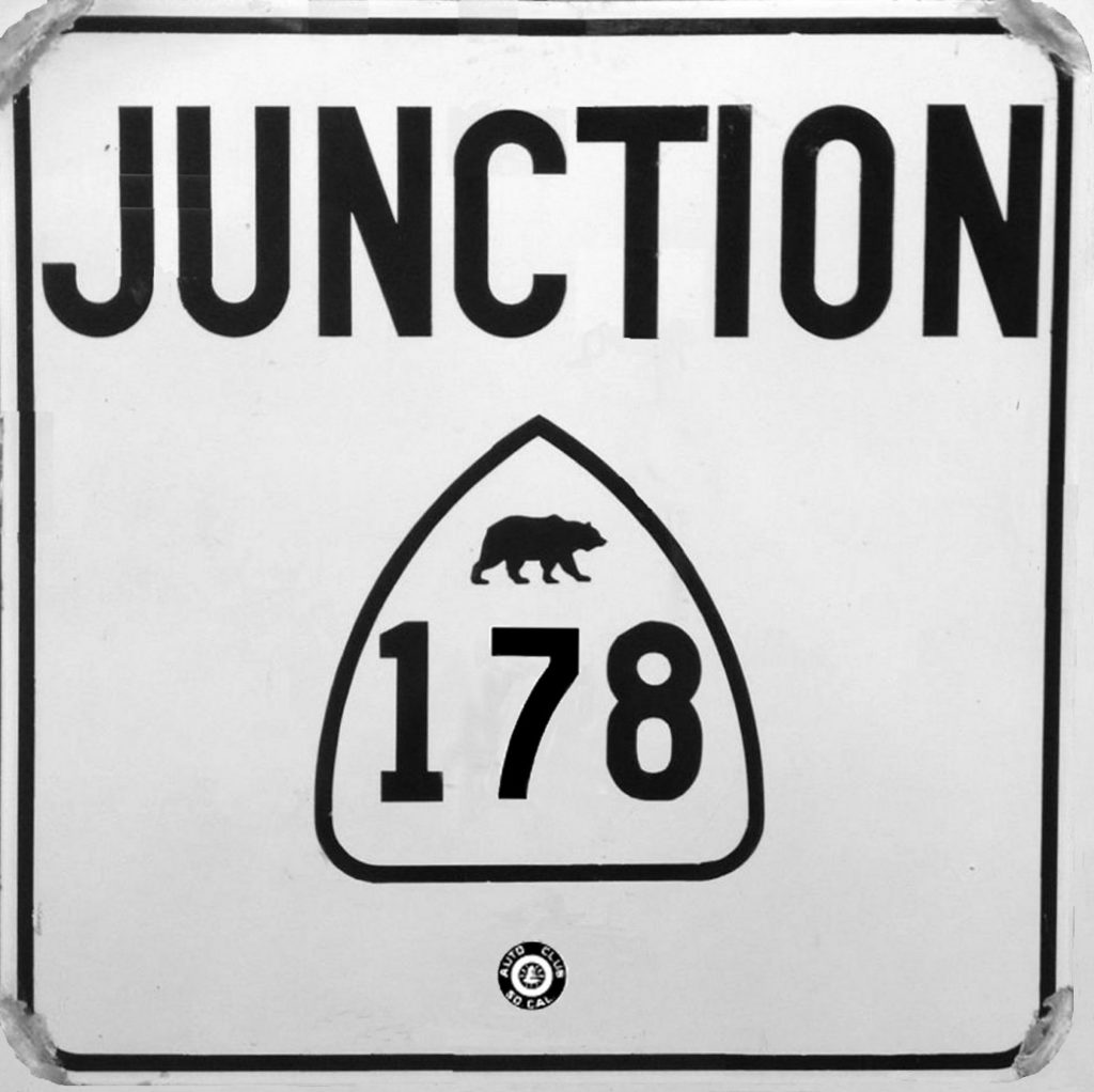
From here, the highway continues to climb up the western slope of the Sierra Nevada range topping Walker Pass at an elevation of 5,250 feet before rolling down Freeman Canyon to meet State Highway 14 (old US 6) at Freeman Junction.
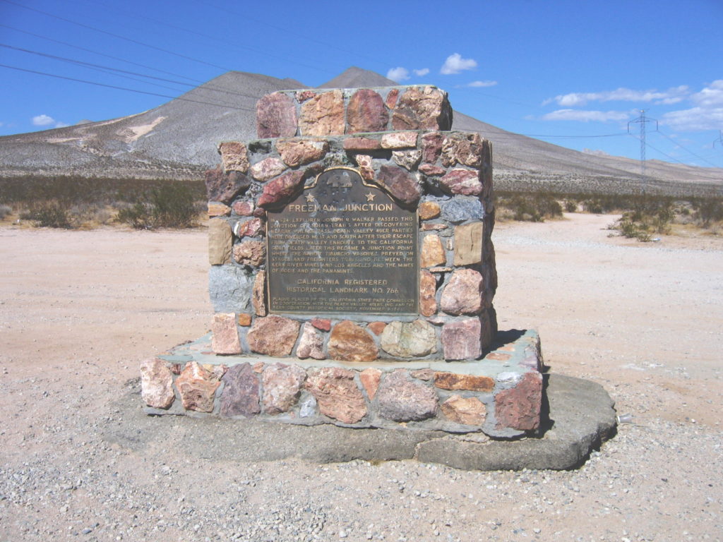
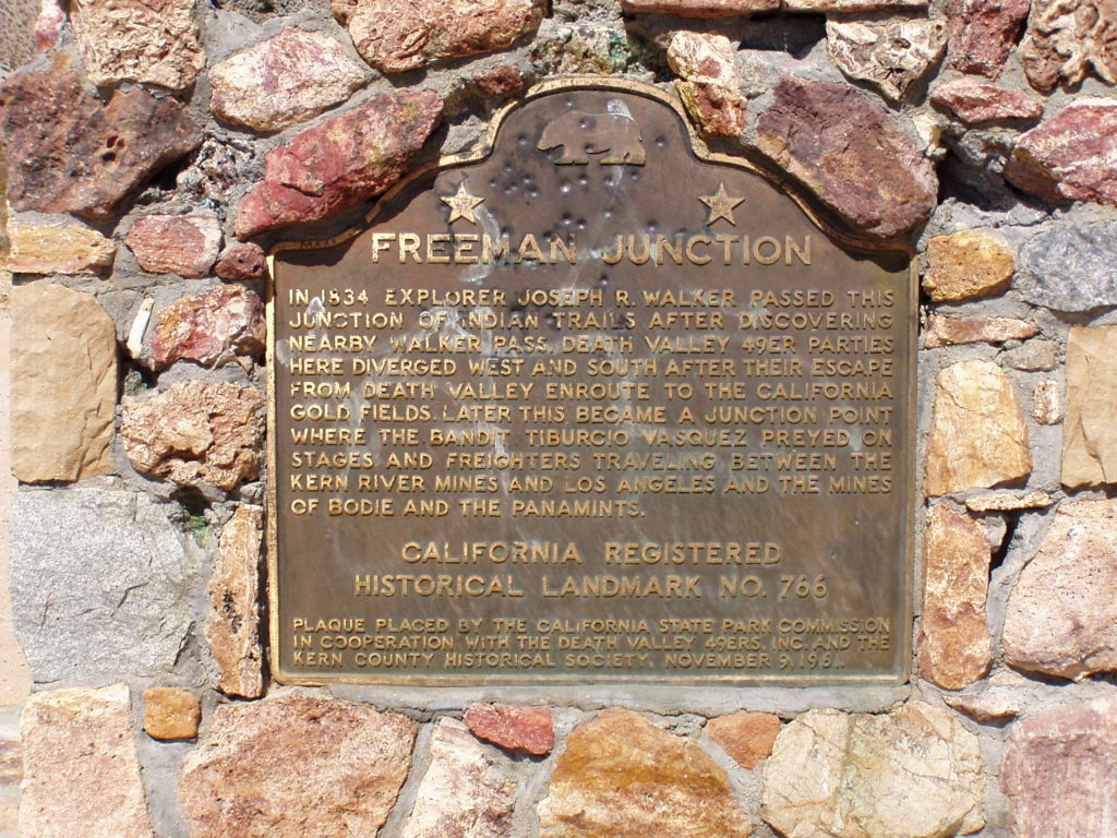
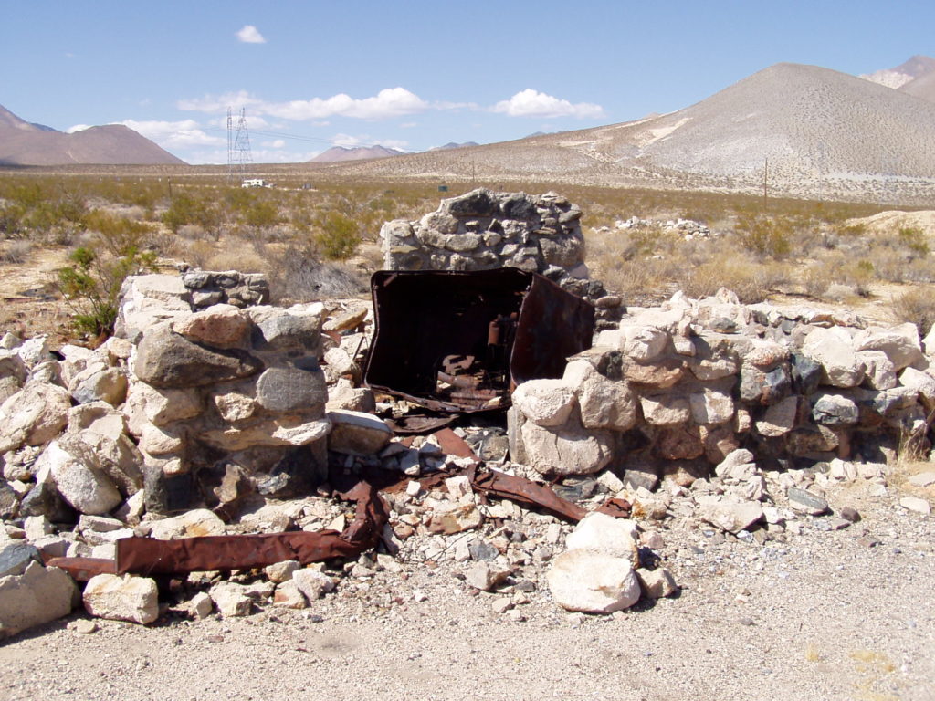
Freeman Junction was settled as far back as 1874. In the 1930’s a restaurant, gas station and mining activities dominated the area. The closing of local mines during World War II took away the area’s livelihood. By the early 1970’s, the residents were long gone and the remains of the settlement were removed or vandalized by passersby traveling the high desert. Nothing remains today but a State Historical Marker near the highway junction.


Additional Materials and Assistance by:
Joel Windmiller, Michael Ballard, Andy Field, Jason Houston, Louise Hoff & Ryan McCollough
This material is Copyright 2007-2024 by Russ Connelly.
No text, pictures or images are to be reproduced without prior consent.
For additional information and comments, please contact
russ (at) kerncanyon (dot) com